ZCZC MIATWOEP ALL
TTAA00 KNHC DDHHMM
Tropical Weather Outlook
NWS National Hurricane Center Miami FL
1100 AM PDT Wed Sep 5 2018
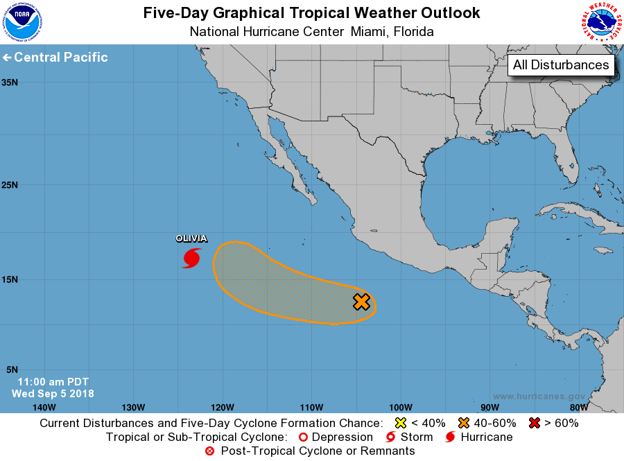
For the eastern North Pacific...east of 140 degrees west longitude:
The National Hurricane Center is issuing advisories on Hurricane
Olivia, located about 900 miles west-southwest of the southern tip
of the Baja California peninsula.
1. A broad area of low pressure centered about 450 miles south-
southwest of Zihuatanejo, Mexico, is producing disorganized showers
and thunderstorms extending well offshore the southern coast of
Mexico. Upper-level winds are forecast to become more conducive for
development, and a tropical depression could form by early next week
while the system moves slowly west-northwestward at about 10 mph
away from the coast of Mexico.
* Formation chance through 48 hours...low...20 percent.
* Formation chance through 5 days...medium...50 percent.
Forecaster Berg