ZCZC MIATWOEP ALL
TTAA00 KNHC DDHHMM
Tropical Weather Outlook
NWS National Hurricane Center Miami FL
1100 AM PDT Sat Aug 11 2018
For the eastern North Pacific...east of 140 degrees west longitude:
The National Hurricane Center has issued the last advisory on
Post-Tropical Cyclone Kristy, located more than a thousand miles
west of the southern tip of the Baja California peninsula.
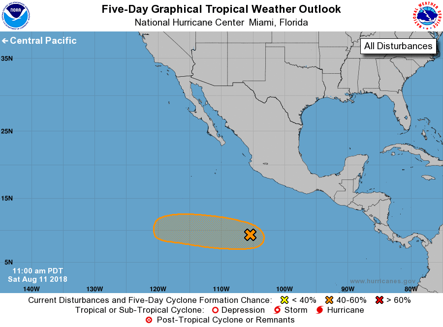
1. A concentrated area of showers and thunderstorms centered a little
more than 600 miles south of Manzanillo, Mexico is associated with
a tropical wave. This activity is beginning to show some signs of
organization. Only limited development is anticipated for the next
day or two, but a tropical depression could form by the middle of
next week while the disturbance moves westward well away from
the coast of Mexico.
* Formation chance through 48 hours...low...10 percent.
* Formation chance through 5 days...medium...40 percent.
Forecaster Avila