ZCZC MIATWOEP ALL
TTAA00 KNHC DDHHMM
Tropical Weather Outlook
NWS National Hurricane Center Miami FL
1100 PM PDT Tue Jun 19 2018
For the eastern North Pacific...east of 140 degrees west longitude:
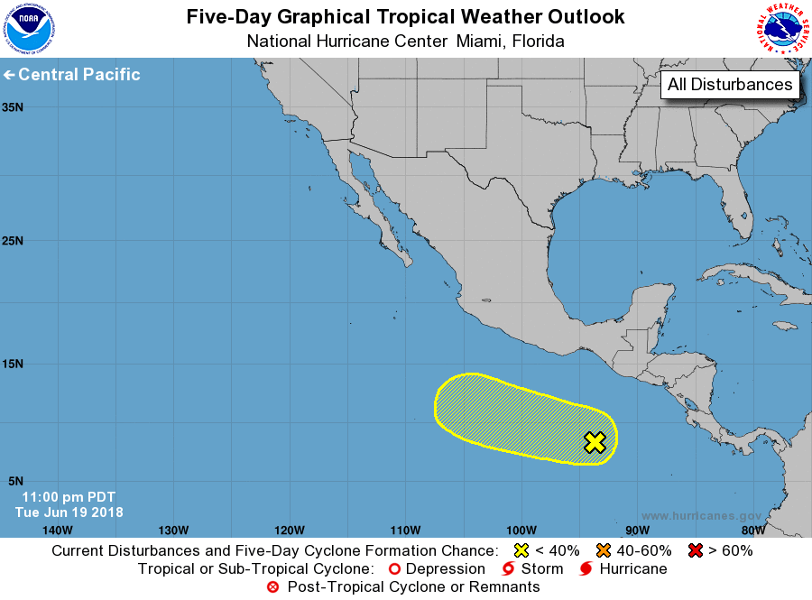
1. A large area of cloudiness and disorganized showers and
thunderstorms is associated with a tropical wave located several
hundred miles south of Guatemala. Environmental conditions are
expected to gradually become more conducive for the development
of a broad low pressure system south of the Gulf of Tehuantepec
by Friday. Additional development will be possible over the weekend
and into early next week while the disturbance moves slowly
westward to west-northwestward well offshore the coast of Mexico.
* Formation chance through 48 hours...low...near 0 percent.
* Formation chance through 5 days...low...20 percent.
Forecaster Stewart