ZCZC MIATWOEP ALL
TTAA00 KNHC DDHHMM
Tropical Weather Outlook
NWS National Hurricane Center Miami FL
1000 AM PST Mon Nov 13 2017
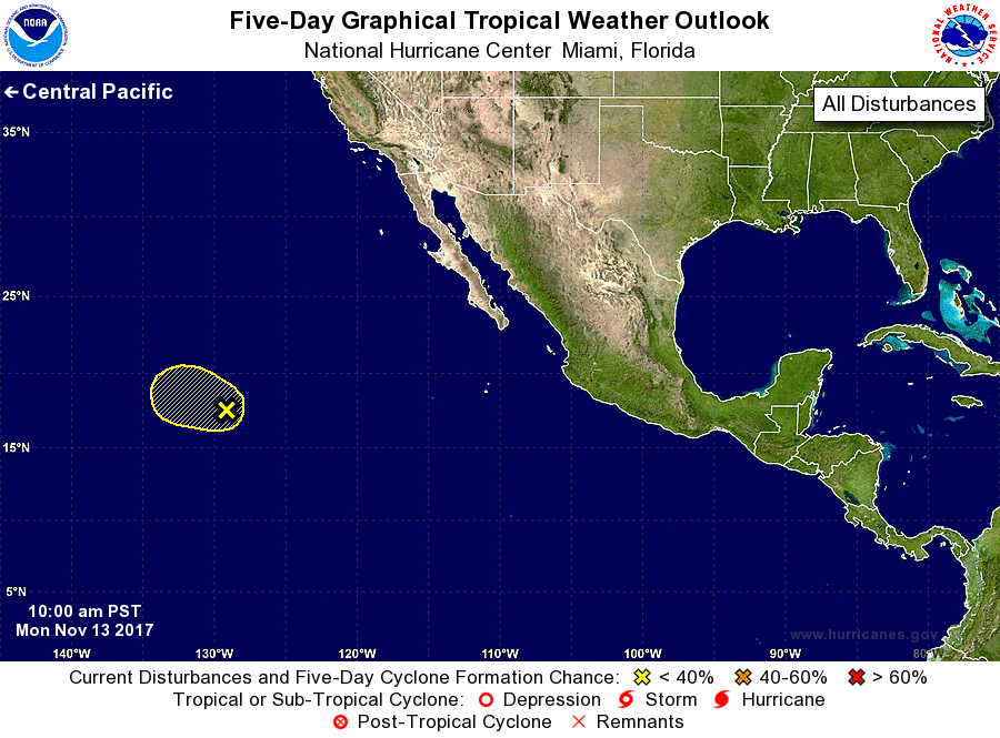
For the eastern North Pacific...east of 140 degrees west longitude:
1. The low pressure system located more than a 1000 miles
west-southwest of the southern tip of the Baja California is
producing a small area of showers and isolated thunderstorms
displaced about 90 miles to the northeast of the surface circulation
center. Environmental conditions are becoming less favorable for
development, and are forecast to become quite unfavorable for
tropical cyclone formation by Tuesday night. This system is
expected to move west-northwestward at 10 to 15 mph across the open
eastern Pacific during the next few days.
* Formation chance through 48 hours...low...20 percent.
* Formation chance through 5 days...low...20 percent.
Forecaster Roberts