ZCZC MIATWOEP ALL
TTAA00 KNHC DDHHMM
Tropical Weather Outlook
NWS National Hurricane Center Miami FL
500 AM PDT Wed Sep 20 2017
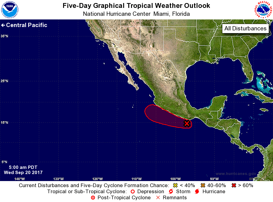
For the eastern North Pacific...east of 140 degrees west longitude:
1. A broad area of low pressure located near the coast of Mexico a
couple of hundred miles east-southeast of Acapulco is producing
disorganized showers and thunderstorms. Land interaction should
limit development of this system during the next day or two, but
a tropical depression will likely form by the weekend when the
system moves farther offshore. Regardless of tropical cyclone
formation, heavy rains are expected over portions of southern Mexico
during the next several days.
* Formation chance through 48 hours...low...30 percent.
* Formation chance through 5 days...high...80 percent.
Forecaster Cangialosi