ZCZC MIATWOEP ALL
TTAA00 KNHC DDHHMM
Tropical Weather Outlook
NWS National Hurricane Center Miami FL
1100 AM PDT Sat Jun 24 2017
For the eastern North Pacific...east of 140 degrees west longitude:
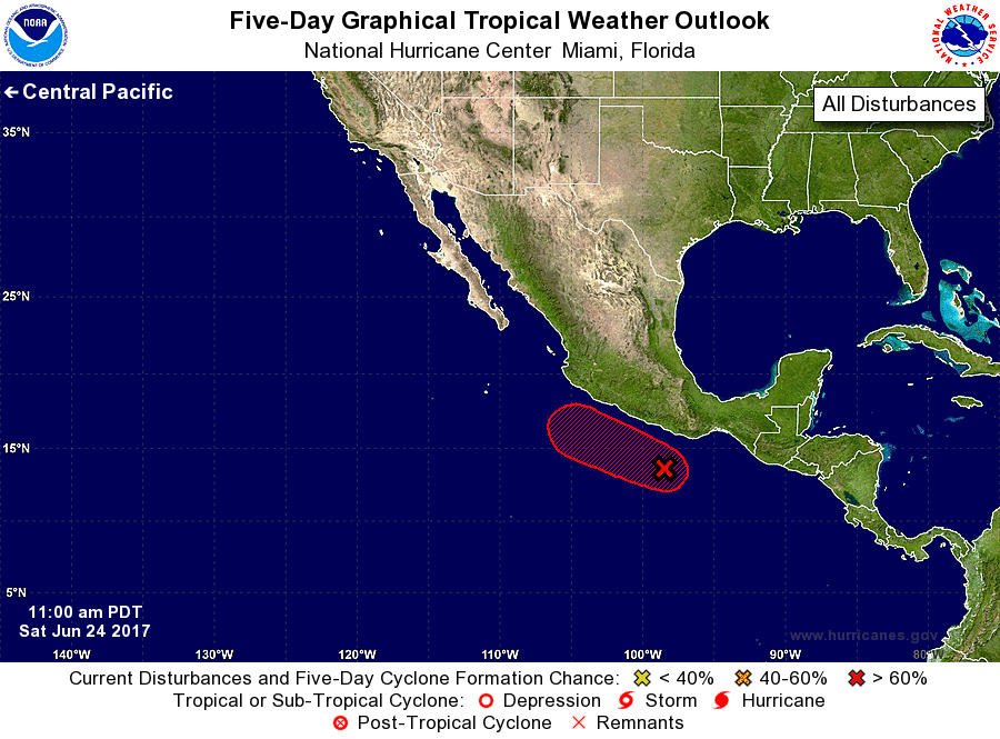
1. Thunderstorm activity associated with a well-defined low pressure
system located a couple of hundred miles south-southeast of
Acapulco, Mexico, continues to become better organized, and a
tropical depression appears to be forming. If this development trend
continues, then advisories will be initiated later this afternoon
or evening. The low is expected to move west-northwestward at 10 mph
parallel to the coast of Mexico during the next couple of days,
bringing heavy rains to the Mexican states of Oaxaca and Guerrero.
Interests along the southwestern coast of Mexico should monitor the
progress of this system.
* Formation chance through 48 hours...high...90 percent.
* Formation chance through 5 days...high...90 percent.
Forecaster Stewart