ZCZC MIATWOEP ALL
TTAA00 KNHC DDHHMM
TROPICAL WEATHER OUTLOOK
NWS NATIONAL HURRICANE CENTER MIAMI FL
1000 AM PST SUN NOV 13 2016
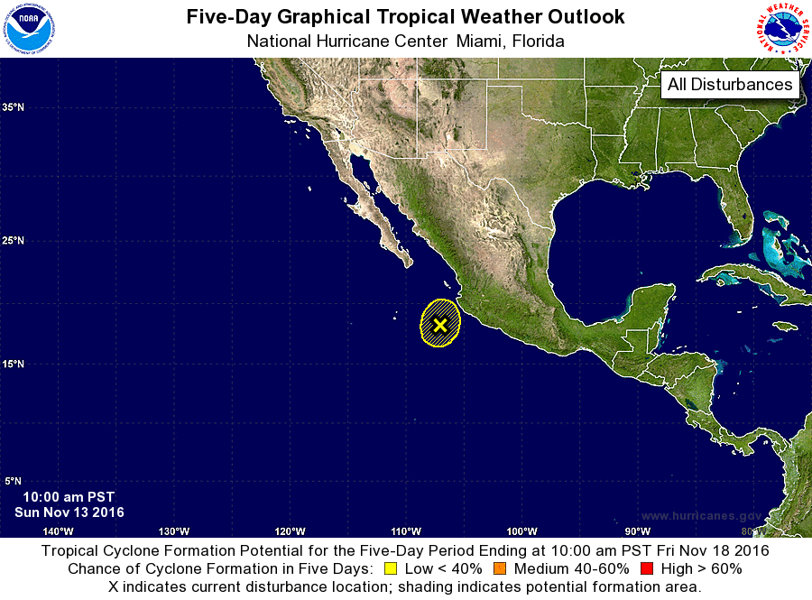
For the eastern North Pacific...east of 140 degrees west longitude:
1. A low pressure system located about 200 miles west-southwest of
Manzanillo, Mexico, continues to produce an area of showers and
thunderstorms and gusty winds to the east and northeast of the
center. Upper-level winds are expected to remain unfavorable
for development as the low moves little during the next day or so
and then turns westward. Although tropical cyclone development is
not expected, locally heavy rainfall and gusty winds associated with
this system will likely continue affecting southwestern Mexico
through tonight.
* Formation chance through 48 hours...low...near 0 percent
* Formation chance through 5 days...low...near 0 percent
Forecaster Cangialosi