ZCZC MIATWOEP ALL
TTAA00 KNHC DDHHMM
TROPICAL WEATHER OUTLOOK
NWS NATIONAL HURRICANE CENTER MIAMI FL
500 AM PDT MON SEP 26 2016
For the eastern North Pacific...east of 140 degrees west longitude:
The National Hurricane Center is issuing advisories on recently
upgraded Tropical Storm Roslyn, located well southwest of the
southern tip of the Baja California peninsula.
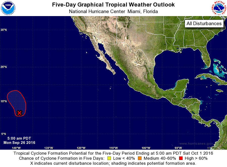
1. Recent satellite wind data indicate that the low pressure system
located about 1200 miles east-southeast of the Big Island of Hawaii
has become better defined. Shower and thunderstorm activity has
also increased and become better organized overnight, and if recent
development trends continue, a tropical depression is likely to
form later today. This system is forecast to move little during
the next day or so, then turn northward later in the week.
* Formation chance through 48 hours...high...70 percent
* Formation chance through 5 days...high...80 percent
Public Advisories on Tropical Storm Roslyn are issued under WMO
header WTPZ33 KNHC and under AWIPS header MIATCPEP3.
Forecast/Advisories on Tropical Storm Roslyn are issued under WMO
header WTPZ23 KNHC and under AWIPS header MIATCMEP3.
Forecaster Brown