ZCZC MIATWOEP ALL
TTAA00 KNHC DDHHMM
TROPICAL WEATHER OUTLOOK
NWS NATIONAL HURRICANE CENTER MIAMI FL
500 AM PDT SAT AUG 27 2016
For the eastern North Pacific...east of 140 degrees west longitude:
The National Hurricane Center is issuing advisories on Hurricane
Lester, located several hundred miles southwest of the southern tip
of the Baja California peninsula, and on Tropical Storm Madeline,
located about 1200 miles east-southeast of Big Island of Hawaii.
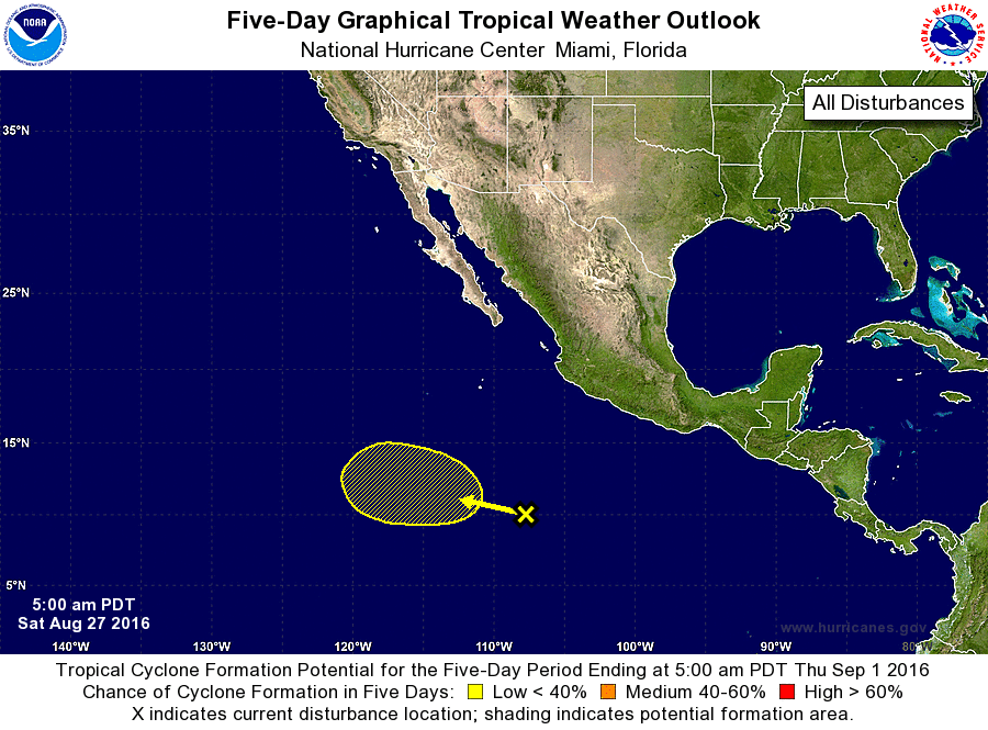
1. A broad area of cloudiness and scattered shower activity is located
several hundred miles south-southwest of the southwestern coast of
Mexico. Environmental conditions are expected to be somewhat
conducive for some slow development of this system after the weekend
while it moves west-northwestward at 10 to 15 mph.
* Formation chance through 48 hours...low...near 0 percent
* Formation chance through 5 days...low...30 percent
Public Advisories on Tropical Storm Madeline are issued under WMO
header WTPZ34 KNHC and under AWIPS header MIATCPEP4.
Forecast/Advisories on Tropical Storm Madeline are issued under WMO
header WTPZ24 KNHC and under AWIPS header MIATCMEP4.
Forecaster Kimberlain