ZCZC MIATWOEP ALL
TTAA00 KNHC DDHHMM
TROPICAL WEATHER OUTLOOK
NWS NATIONAL HURRICANE CENTER MIAMI FL
500 AM PDT MON AUG 1 2016
For the eastern North Pacific...east of 140 degrees west longitude:
The National Hurricane Center is issuing advisories on recently
upgraded Tropical Storm Howard, located nearly 1000 miles west-
southwest of the southern tip of the Baja California peninsula.
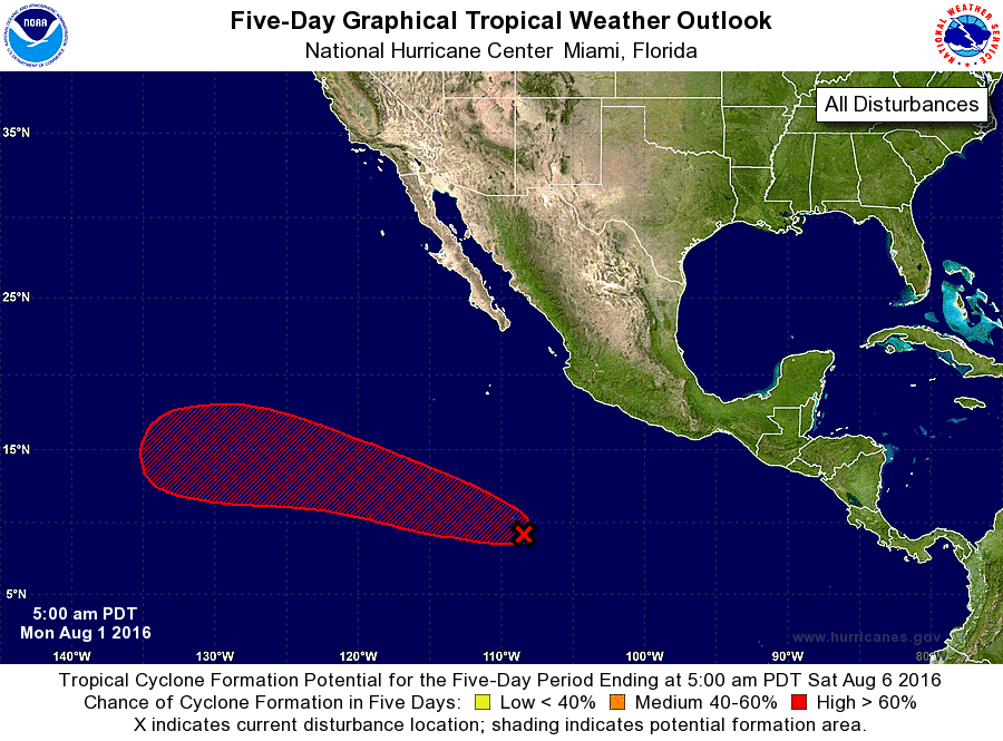
1. A tropical wave, accompanied by a broad area of low pressure,
continues to produce widespread cloudiness and disorganized showers
several hundred miles south-southwest of Manzanillo, Mexico.
Environmental conditions are expected to be conducive for gradual
development, and a tropical depression is likely to form later this
week while this system moves west-northwestward at 10 to 15 mph.
* Formation chance through 48 hours...low...30 percent
* Formation chance through 5 days...high...80 percent
Public Advisories on Tropical Storm Howard are issued under
WMO header WTPZ34 KNHC and under AWIPS header MIATCPEP4.
Forecast/Advisories on Tropical Storm Howard are issued under
WMO header WTPZ24 KNHC and under AWIPS header MIATCMEP4.
Forecaster Kimberlain