ZCZC MIATWOEP ALL
TTAA00 KNHC DDHHMM
TROPICAL WEATHER OUTLOOK
NWS NATIONAL HURRICANE CENTER MIAMI FL
1100 AM PDT SAT JUL 16 2016
For the eastern North Pacific...east of 140 degrees west longitude:
The National Hurricane Center is issuing advisories on Hurricane
Darby, located almost 1000 miles west-southwest of the southern
tip of the Baja California peninsula, and on Tropical Storm Estelle,
located about 400 miles southwest of Manzanillo, Mexico.
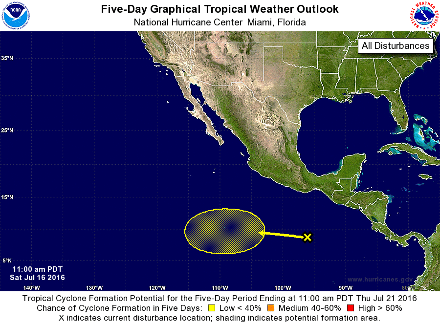
1. An area of disturbed weather is located several hundred miles south
of the Gulf of Tehuantepec. A broad area of low pressure is
expected to form over the next few days, and some gradual
development is possible by the middle of next week while this
system moves westward at about 10 mph.
* Formation chance through 48 hours...low...near 0 percent
* Formation chance through 5 days...low...20 percent
Forecaster Berg