ZCZC MIATWOEP ALL
TTAA00 KNHC DDHHMM
TROPICAL WEATHER OUTLOOK
NWS NATIONAL HURRICANE CENTER MIAMI FL
1100 PM PDT SAT JUL 2 2016
For the eastern North Pacific...east of 140 degrees west longitude:
The National Hurricane Center is issuing advisories on Tropical
Storm Agatha, located several hundred miles west-southwest of the
southern tip of the Baja California peninsula, and on recently
formed Tropical Depression Three-E, located more than 600 miles
south-southwest of Manzanillo, Mexico.
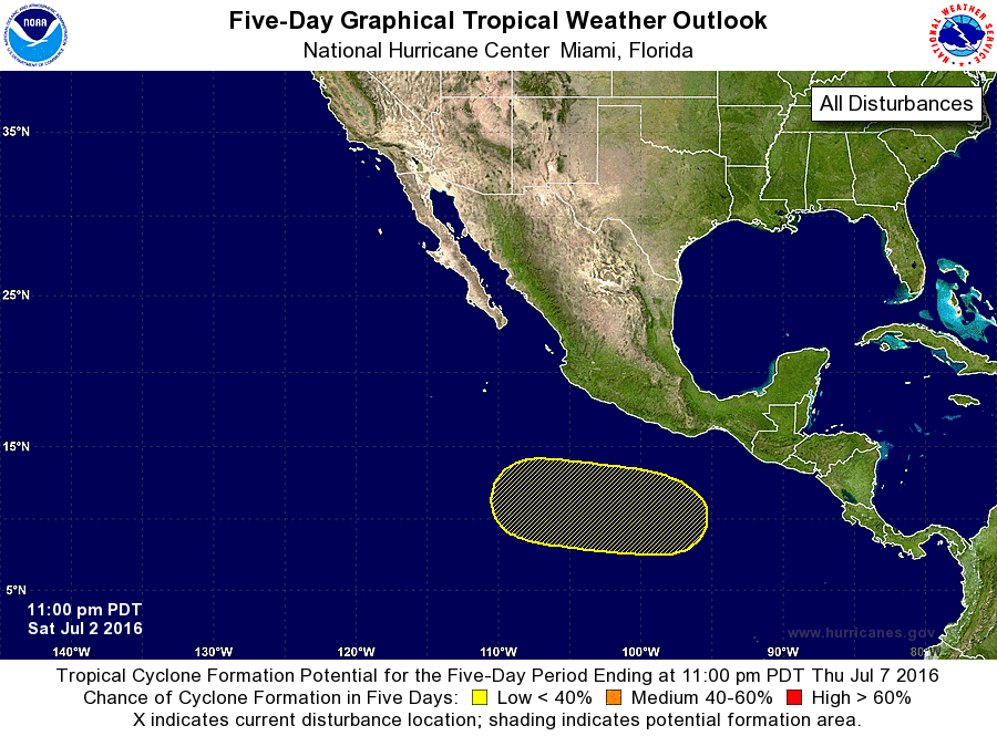
1. A new area of low pressure is expected to form by the middle of next
week well southwest of the coast of Mexico. Some subsequent
development of the system is possible as it moves slowly westward.
* Formation chance through 48 hours...low...near 0 percent
* Formation chance through 5 days...low...20 percent
Public Advisories on Tropical Depression Three-E are issued under
WMO header WTPZ33 KNHC and under AWIPS header MIATCPEP3.
Forecast/Advisories on Tropical Depression Three-E are issued under
WMO header WTPZ23 KNHC and under AWIPS header MIATCMEP3.
Forecaster Stewart