


NHC Graphical Outlook Archive
|
« Earliest Available ‹ Earlier Later › Latest Available » |
GIS Shapefiles |
| Eastern Pacific | Atlantic |
|
Tropical Weather Outlook Text
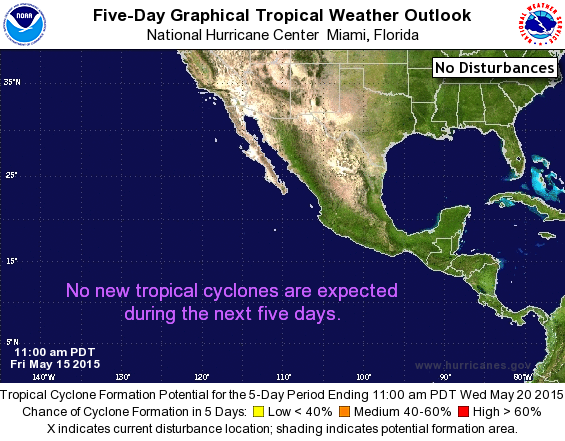
ZCZC MIATWOEP ALL
TTAA00 KNHC DDHHMM

TROPICAL WEATHER OUTLOOK
NWS NATIONAL HURRICANE CENTER MIAMI FL
1100 AM PDT FRI MAY 15 2015

For the eastern North Pacific...east of 140 degrees west longitude:

Tropical cyclone formation is not expected during the next 5 days.

Today marks the first day of the eastern North Pacific hurricane
season, which will run until November 30.  Long-term averages for
the number of named storms, hurricanes, and major hurricanes are
15, 8, and 4, respectively.

The list of names for 2015 is as follows:

Name           Pronunciation    Name            Pronunciation
-------------------------------------------------------------
Andres         ahn-DRASE        Marty           MAR-tee
Blanca         BLAHN-kah        Nora            NOOR-ruh
Carlos         KAR-loess        Olaf            OH-lahf
Dolores        deh-LOOR-ess     Patricia        puh-TRIH-shuh
Enrique        ahn-REE-kay      Rick            rik
Felicia        fa-LEE-sha       Sandra          SAN-druh
Guillermo      gee-YER-mo       Terry           TAIR-ree
Hilda          HILL-duh         Vivian          VIH-vee-uhn
Ignacio        eeg-NAH-see-oh   Waldo           WAHL-doh
Jimena         he-MAY-na        Xina            ZEE-nah
Kevin          KEH-vin          York            york
Linda          LIHN-duh         Zelda           ZEL-dah

This product, the Tropical Weather Outlook, briefly describes
significant areas of disturbed weather and their potential for
tropical cyclone formation during the next 5 days.  The issuance
times of this product are 5 AM, 11 AM, 5 PM, and 11 PM PDT.  After
the change to standard time in November, the issuance times are 4
AM, 10 AM, 4 PM, and 10 PM PST.

A Special Tropical Weather Outlook will be issued to provide
updates, as necessary, in between the regularly scheduled issuances
of the Tropical Weather Outlook.  Special Tropical Weather Outlooks
will be issued under the same WMO and AWIPS headers as the regular
Tropical Weather Outlooks.

A standard package of products, consisting of the tropical cyclone
public advisory, the forecast/advisory, the cyclone discussion,
and a wind speed probability product, is issued every six hours
for all ongoing tropical cyclones.  In addition, a special
advisory package may be issued at any time to advise of
significant unexpected changes or to modify watches or warnings.

The Tropical Cyclone Update is a brief statement to inform of
significant changes in a tropical cyclone or to post or cancel
watches or warnings.  It is used in lieu of or to precede the
issuance of a special advisory package.  Tropical Cyclone Updates,
which can be issued at any time, can be found under WMO header
WTPZ61-65 KNHC, and under AWIPS header MIATCUEP1-5.

All National Hurricane Center text and graphical products are
available on the web at http://www.hurricanes.gov.  Twitter
notifications on select National Hurricane Center products for the
eastern Pacific are available via the handle @NHC_Pacific.
Information about our eastern Pacific Twitter feed is available at
www.hurricanes.gov/twitter.php.  You can also interact with NHC on
Facebook at https://www.facebook.com/NWSNHC.

$$
Forecaster Berg
NNNN
List of Atlantic Outlooks (May 2023 - present)
List of East Pacific Outlooks (May 2023 - present)
List of Central Pacific Outlooks (May 2023 - present)
List of Atlantic Outlooks (July 2014 - April 2023)
List of East Pacific Outlooks (July 2014 - April 2023)
List of Central Pacific Outlooks (June 2019 - April 2023)
List of Atlantic Outlooks (June 2009 - June 2014)
List of East Pacific Outlooks (June 2009 - June 2014)