


NHC Graphical Outlook Archive
|
« Earliest Available ‹ Earlier Later › Latest Available » |
| Eastern Pacific | Atlantic |
|
|
(mouse over shaded areas for details; click on shaded areas or disturbance numbers to switch views) |
Tropical Weather Outlook Text
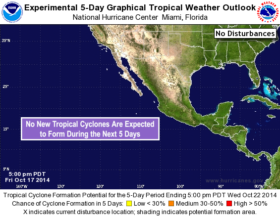
TROPICAL WEATHER OUTLOOK
NWS NATIONAL HURRICANE CENTER MIAMI FL
500 PM PDT FRI OCT 17 2014

For the eastern North Pacific...east of 140 degrees west longitude:

The National Hurricane Center is issuing advisories on newly formed
Tropical Depression Twenty-E, located about a hundred miles south of
the south-central coast of Mexico.

Tropical cyclone formation is not expected for the next 5 days.

&&

Public Advisories on the depression are issued under WMO header
WTPZ35 KNHC and under AWIPS header MIATCPEP5. Forecast/Advisories
are issued under WMO header WTPZ25 KNHC and under AWIPS header
MIATCMEP5.

$$
Forecaster Blake
NNNN
List of Atlantic Outlooks (May 2023 - present)
List of East Pacific Outlooks (May 2023 - present)
List of Central Pacific Outlooks (May 2023 - present)
List of Atlantic Outlooks (July 2014 - April 2023)
List of East Pacific Outlooks (July 2014 - April 2023)
List of Central Pacific Outlooks (June 2019 - April 2023)
List of Atlantic Outlooks (June 2009 - June 2014)
List of East Pacific Outlooks (June 2009 - June 2014)