ZCZC HFOTWOCP ALL
TTAA00 PHFO DDHHMM
Tropical Weather Outlook
NWS Central Pacific Hurricane Center Honolulu HI
200 AM HST Thu Jul 14 2022
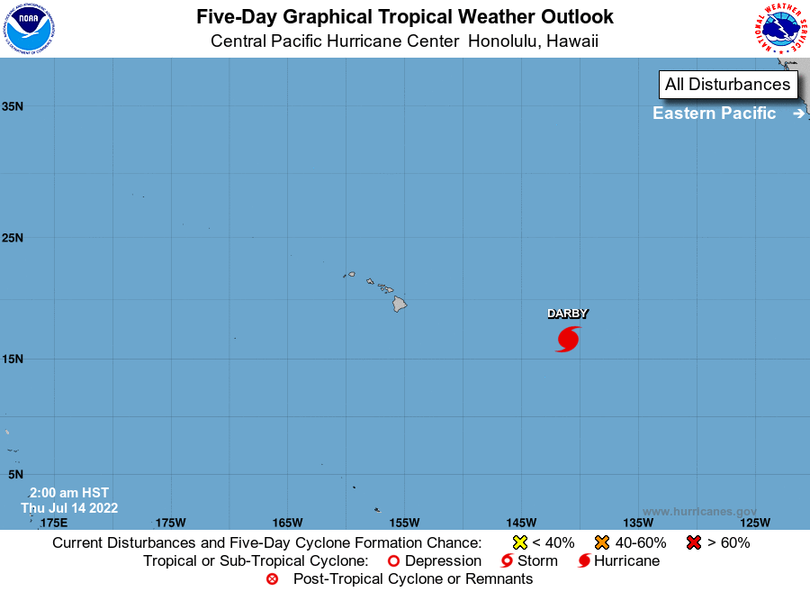
For the central North Pacific...between 140W and 180W:
Hurricane Darby is centered about 1000 miles east of Hilo, Hawaii.
Darby is moving steadily west-northwestward, and will be weakening
as it moves closer to the islands. Hurricane Darby has moved into
the Central Pacific Hurricane Center's area of responsibility and
future forecast advisories for Darby will be issued by the Central
Pacific Hurricane Center in Honolulu, Hawaii.
Elsewhere, no tropical cyclones are expected during the next 5 days.
Future Central Pacific Hurricane Center Public Advisories on
Hurricane Darby will be issued under WMO header WTPA31 PHFO and
under AWIPS header HFOTCPCP1.
Future Central Pacific Hurricane Center Forecast Advisories on
Hurricane Darby will be issued under WMO header WTPA11 PHFO and
under AWIPS header HFOTCMCP1.
$$
Forecaster Bohlin
NNNN