ZCZC HFOTWOCP ALL
TTAA00 PHFO DDHHMM
Tropical Weather Outlook...Corrected
NWS Central Pacific Hurricane Center Honolulu HI
200 PM HST Mon Aug 9 2021
For the central North Pacific...between 140W and 180W:
Corrected for deletion of extra word.
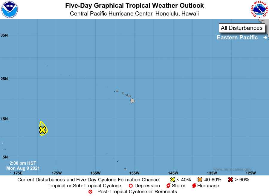
1. An elongated area of low pressure located around 1500 miles
southwest of Lihue, Hawaii is producing disorganized showers and
thunderstorms. Because this system will be exiting the Central
Pacific shortly, there is little chance of development in the
Central Pacific basin. Once the system crosses the Date Line, see
the Tropical Weather Advisory issued by the Joint Typhoon Warning
Center for information on development chances in the West Pacific.
* Formation chance through 48 hours...low...near 0 percent.
* Formation chance through 5 days...low...near 0 percent.
Elsewhere, no tropical cyclones are expected during the next 5 days.
Forecaster TS