ZCZC HFOTWOCP ALL
TTAA00 PHFO DDHHMM
Tropical Weather Outlook
NWS Central Pacific Hurricane Center Honolulu HI
200 AM HST Mon Jul 26 2021
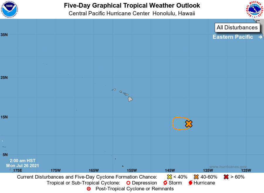
For the central North Pacific...between 140W and 180W:
1. The National Hurricane Center in Miami, Florida, has been
monitoring an elongated area of low pressure located more than 1000
miles east-southeast of Hilo, Hawaii, as it continues to move
westward at about 15 mph. The feature is producing disorganized
showers and thunderstorms. Environmental conditions are gradually
becoming less conducive for development of a tropical depression.
By Tuesday, conditions are expected to become unfavorable for any
further development. The Central Pacific Hurricane Center will be
issuing all further information on this system as it is now
entering the Central Pacific basin.
* Formation chance through 48 hours...medium...40 percent.
* Formation chance through 5 days...medium...40 percent.
Elsewhere, no tropical cyclones are expected during the next 5
days.
Forecaster Kinel