ZCZC HFOTWOCP ALL
TTAA00 PHFO DDHHMM
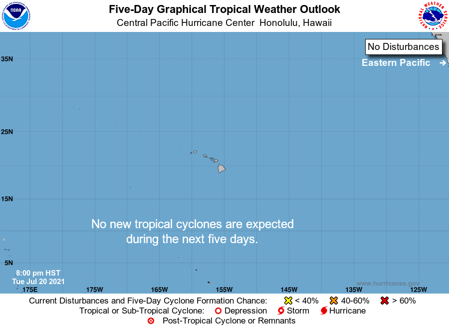
Tropical Weather Outlook
NWS Central Pacific Hurricane Center Honolulu HI
800 PM HST Tue Jul 20 2021
For the central North Pacific...between 140W and 180W:
The Central Pacific Hurricane Center downgraded Felicia to a
post-tropical/remnant low as of 5 pm HST. This remnant low is
moving west-southwest at 16 mph and is about 925 miles southeast
of Hilo, Hawaii. Additional information on this system can be found
in the High Seas Forecasts issued by the National Weather Service
in Honolulu under AWIPS header HFOHSFNP and WMO header FZPN40 PHFO.
No tropical cyclones are expected during the next 5 days.
$$
Forecaster Powell
NNNN