ZCZC HFOTWOCP ALL
TTAA00 PHFO DDHHMM
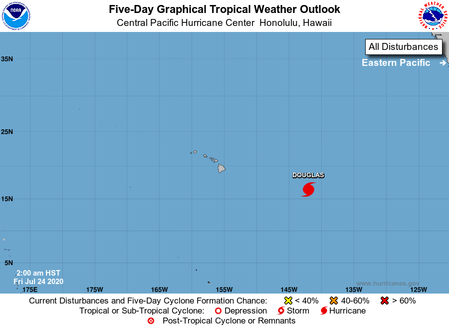
Tropical Weather Outlook
NWS Central Pacific Hurricane Center Honolulu HI
200 AM HST Fri Jul 24 2020
For the central North Pacific...between 140W and 180W:
Hurricane Douglas has enter the Central Pacific Hurricane
Center area of responsibility, and will be issuing advisories
beginning 5 am HST.
Hurricane Douglas, is located about 965 miles east-southeast of
Hilo, Hawaii. Douglas continues on its west-northwest track towards
the main Hawaiian islands.
Elsewhere, no tropical cyclones are expected during the next 5 days.
The current public advisories/forecast on Hurricane Douglas from
the National Hurricane Center in Miami, FL, are under WMO header
WTPZ33 KNHC and under AWIPS header MIATCPEP3.
From 5 am HST on, public advisories and forecasts on Hurricane
Douglas from the Central Pacific Hurricane Center in Honolulu, will
be issued under the WMO header of WTPA32 PHFO and under AWIPS
header HFOTCPCP2.
$$
Forecaster Lau
NNNN