Skip Navigation Links
NOAA NOAA United States Department of Commerce

NHC Graphical Outlook Archive


« Earliest Available         ‹ Earlier         Later ›         Latest Available »
GIS Shapefiles
Central Pacific Eastern Pacific Atlantic

View 2-Day Graphical Tropical Weather Outlook
Click for Eastern North Pacific Click for Eastern North Pacific

Tropical Weather Outlook Text

ZCZC HFOTWOCP ALL
TTAA00 PHFO DDHHMM

Tropical Weather Outlook
NWS Central Pacific Hurricane Center Honolulu HI
800 PM HST Tue Oct 22 2019

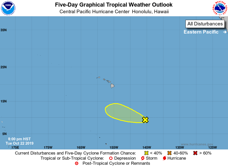
For the central North Pacific...between 140W and 180W:

1. Showers and thunderstorms have recently increased in coverage in 
association with an area of low pressure about 1000 miles southeast 
of Hilo, Hawaii, but they remain disorganized. The system will move 
west-northwest near 10 mph over the next couple of days, and into
an area where upper-level winds are less conducive for development.
* Formation chance through 48 hours...low...30 percent.
* Formation chance through 5 days...low...30 percent.

Elsewhere, no tropical cyclones are expected during the next 5 days.

Forecaster Birchard


List of Atlantic Outlooks (May 2023 - present)
List of East Pacific Outlooks (May 2023 - present)
List of Central Pacific Outlooks (May 2023 - present)
List of Atlantic Outlooks (July 2014 - April 2023)
List of East Pacific Outlooks (July 2014 - April 2023)
List of Central Pacific Outlooks (June 2019 - April 2023)
List of Atlantic Outlooks (June 2009 - June 2014)
List of East Pacific Outlooks (June 2009 - June 2014)