ZCZC HFOTWOCP ALL
TTAA00 PHFO DDHHMM
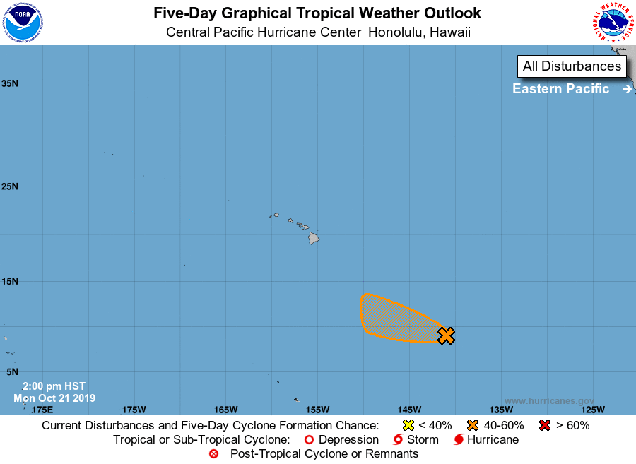
Tropical Weather Outlook
NWS Central Pacific Hurricane Center Honolulu HI
200 PM HST Mon Oct 21 2019
For the central North Pacific...between 140W and 180W:
1. Showers and thunderstorms associated with a low pressure system
located about 1200 miles southeast of Hilo, Hawaii have decreased
over the past 6 hours. Environmental conditions appear conducive for
additional development of this system, and a tropical depression
could form during the next couple of days while the disturbance
moves west to west-northwestward at about 10 mph. Upper-level winds
are expected to become less favorable for development by the latter
part of the week.
* Formation chance through 48 hours...medium...40 percent.
* Formation chance through 5 days...medium...40 percent.
Elsewhere, no tropical cyclones are expected during the next 5 days.
Forecaster Kino