ZCZC HFOTWOCP ALL
TTAA00 PHFO DDHHMM
Tropical Weather Outlook
NWS Central Pacific Hurricane Center Honolulu HI
200 PM HST Thu Aug 29 2019
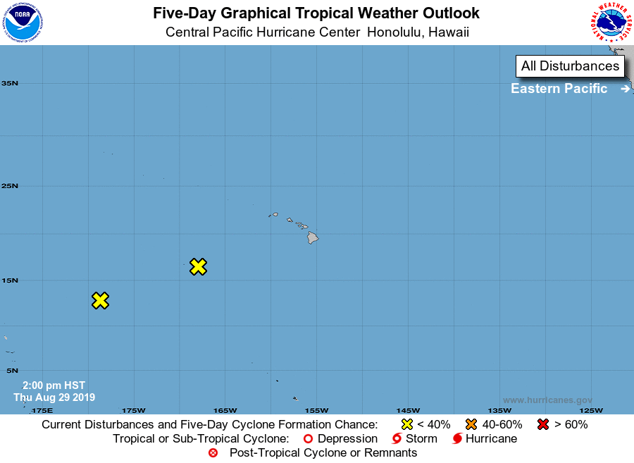
For the central North Pacific...between 140W and 180W:
1. Low pressure, located about 1100 miles south of Midway Atoll, is
producing an area of increasing showers and thunderstorms. This low
is expected to move into the western Pacific this evening, and
environmental conditions appear marginally favorable for
development over the next few days. The probabilities below reflect
the chance of development while the disturbance remains in the
central Pacific basin.
*Formation chance through 48 hours...low...near 0 percent
*Formation chance through 5 days...low...near 0 percent
2. A low, located about 750 miles southwest of Honolulu, Hawaii
is producing an area of thunderstorms along its southeastern
periphery. Environmental conditions are not forecast to be conducive
for development over the next few days as it moves west.
*Formation chance through 48 hours...low...near 0 percent
*Formation chance through 5 days...low...near 0 percent
Elsewhere, no tropical cyclones are expected during the next 5 days.
Forecaster Morrison