ZCZC HFOTWOCP ALL
TTAA00 PHFO DDHHMM
Tropical Weather Outlook
NWS Central Pacific Hurricane Center Honolulu HI
200 AM HST Sat Jul 27 2019
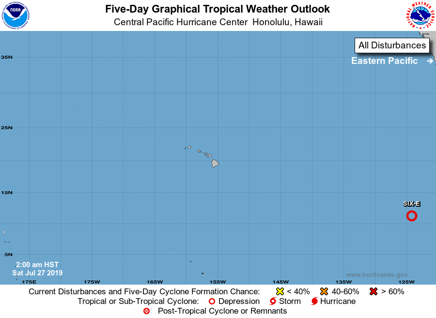
For the central North Pacific...between 140W and 180W:
1. The National Hurricane Center in Miami, Florida is tracking a
disturbance about 2200 miles east-southeast of Hilo, Hawaii, which
is already producing tropical-storm-force wind gusts, according to
satellite-derived wind data. A low-level center appears to be
forming and advisories may be issued by the National Hurricane
Center later this morning. This system is expected to move westward
to west-northwestward at 10 to 15 mph.
* Formation chance through 48 hours...high...90 percent.
* Formation chance through 5 days...high...90 percent.
Elsewhere, no tropical cyclones are expected through the next 5
days.
Forecaster Powell