ZCZC MIATWOAT ALL
TTAA00 KNHC DDHHMM
Tropical Weather Outlook
NWS National Hurricane Center Miami FL
800 AM EDT Sun Aug 14 2022
For the North Atlantic...Caribbean Sea and the Gulf of Mexico:
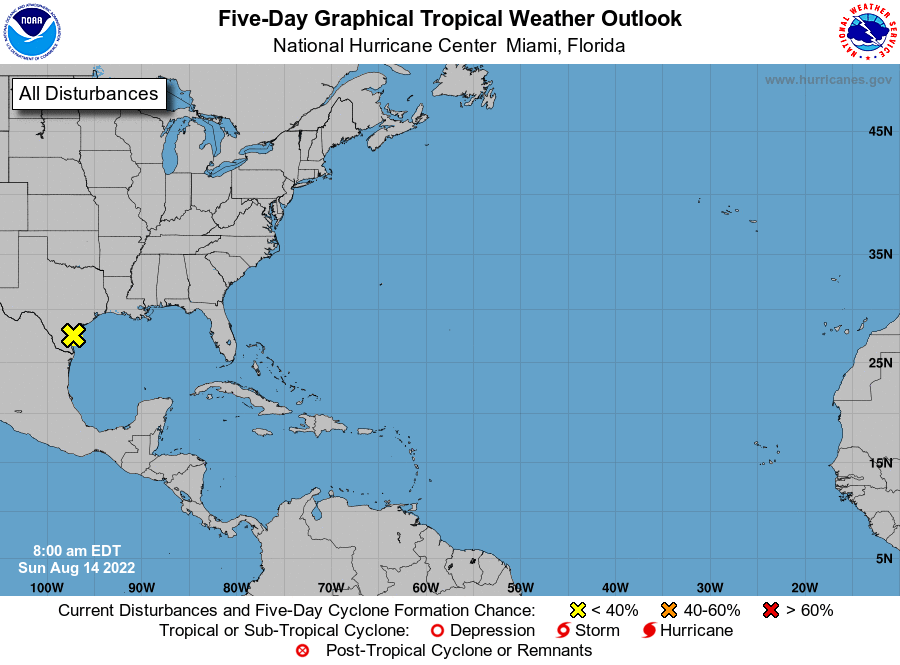
1. Northwestern Gulf of Mexico:
Shower and thunderstorm activity has increased early this morning
in association with an area of low pressure area located near the
coast of Texas just south-southeast of Corpus Christi. Surface and
radar observations indicate that the circulation has become a
little better defined, however the center is expected to move
inland over southern Texas this morning and further significant
development is not anticipated. Regardless of development, heavy
rains are forecast across southern Texas through Monday, which could
cause localized areas of flash flooding. For more information about
the potential for heavy rainfall, please see products issued by
your local National Weather Service office and the Weather
Prediction Center.
* Formation chance through 48 hours...low...10 percent.
* Formation chance through 5 days...low...10 percent.
For more information on the system, see products issued by the
National Weather Service at weather.gov and wpc.ncep.noaa.gov
Forecaster Brown