ZCZC MIATWOAT ALL
TTAA00 KNHC DDHHMM
Tropical Weather Outlook
NWS National Hurricane Center Miami FL
200 AM EDT Sat Aug 13 2022
For the North Atlantic...Caribbean Sea and the Gulf of Mexico:
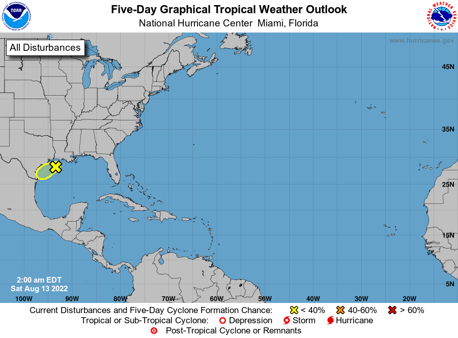
1. Northwestern Gulf of Mexico:
A trough of low pressure located over the northwestern Gulf of
Mexico is producing limited shower activity. Development of this
system, if any, is expected to be slow to occur while it moves
slowly west-southwestward at 5 to 10 mph and approaches the Texas
coast today and tonight, then moves inland over southern Texas on
Sunday. Regardless of development, locally heavy rains are possible
along portions of the Texas coast through the weekend. For more
information about the potential for heavy rainfall, please see
products issued by your local National Weather Service office and
the Weather Prediction Center. An Air Force Reserve Hurricane Hunter
aircraft is scheduled to investigate this system later today, if
necessary.
* Formation chance through 48 hours...low...10 percent.
* Formation chance through 5 days...low...10 percent.
For more information on the system, see products issued by the
National Weather Service at weather.gov and wpc.ncep.noaa.gov
Forecaster Reinhart