ZCZC MIATWOAT ALL
TTAA00 KNHC DDHHMM
Tropical Weather Outlook
NWS National Hurricane Center Miami FL
800 AM EDT Wed Jul 13 2022
For the North Atlantic...Caribbean Sea and the Gulf of Mexico:
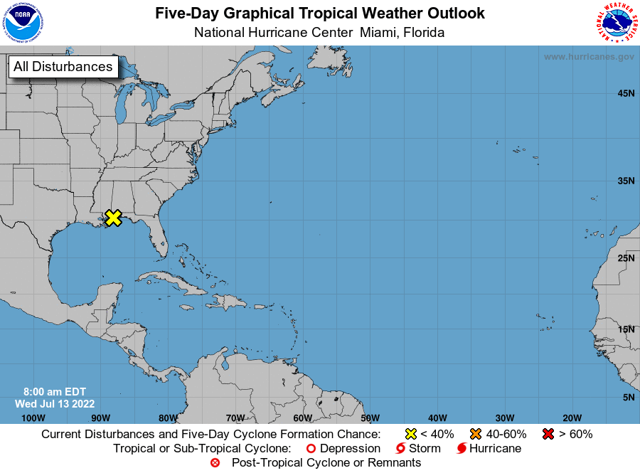
1. Northern Gulf of Mexico:
A surface trough extending from the Florida Panhandle west-
southwestward along the northern Gulf coast is producing
disorganized showers and thunderstorms over the northern Gulf of
Mexico and adjacent land areas. The surface trough is forecast to
drift northward over land during the next few days and significant
tropical development is not anticipated. Regardless of development,
heavy rains will pose a risk of flash flooding along portions of the
northern Gulf coast from Louisiana to the Florida Panhandle over the
next several days. For more information about the potential for
heavy rain and flooding, please see products issued by your local
National Weather Service office and the Weather Prediction Center.
* Formation chance through 48 hours...low...near 0 percent.
* Formation chance through 5 days...low...near 0 percent.
Products from the Weather Prediction Center can be found at
www.wpc.ncep.noaa.gov and local National Weather Service products
can be found at www.weather.gov
Forecaster D. Zelinsky