ZCZC MIATWOAT ALL
TTAA00 KNHC DDHHMM
Tropical Weather Outlook
NWS National Hurricane Center Miami FL
800 AM EDT Tue Jul 12 2022
For the North Atlantic...Caribbean Sea and the Gulf of Mexico:
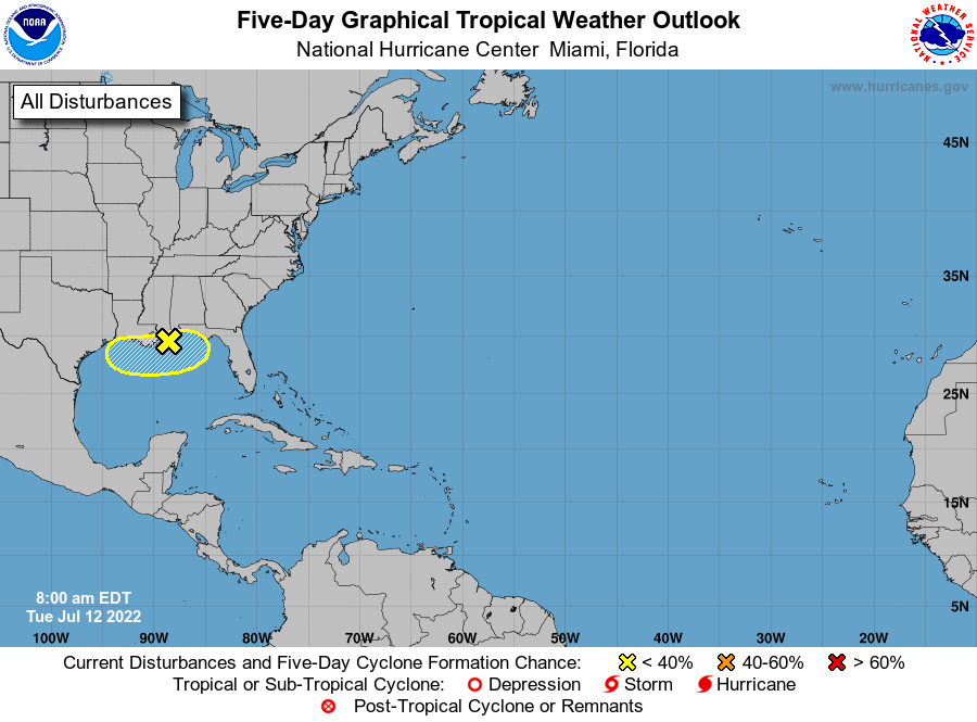
1. Northern Gulf of Mexico:
Disorganized showers and thunderstorms over the northern Gulf of
Mexico are associated with a trough of low pressure. This system
is expected to meander near the northern Gulf coast through the end
of the week, and gradual development is possible if it remains
offshore. Regardless of development, heavy rains will pose a risk
of flash flooding along portions of the northern Gulf coast from
Louisiana to the Florida Panhandle over the next several days. For
more information about the potential for heavy rain, please see
products issued by your local National Weather Service office and
the Weather Prediction Center.
* Formation chance through 48 hours...low...10 percent.
* Formation chance through 5 days...low...30 percent.
Products from the Weather Prediction Center can be found at
wpc.ncep.noaa.gov and local National Weather Service products can
be found at weather.gov
Forecaster Berg