ZCZC MIATWOAT ALL
TTAA00 KNHC DDHHMM
Tropical Weather Outlook
NWS National Hurricane Center Miami FL
800 AM EDT Wed Jun 15 2022
For the North Atlantic...Caribbean Sea and the Gulf of Mexico:
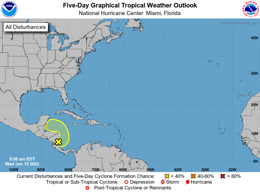
1. Southwestern Caribbean Sea:
Satellite and radar images suggest that a small area of low pressure
is located along the east coast of Nicaragua accompanied by a
disorganized area of showers and thunderstorms. The disturbance is
expected to meander slowly today, then drift northwestward along the
coasts of Nicaragua and Honduras later this week. Some slow
development of this system is still possible if it moves back over
water. The Air Force Reserve Hurricane Hunter aircraft scheduled to
investigate the system today has been canceled. Regardless of
development, the low could produce periods of heavy rainfall across
portions of eastern Nicaragua and eastern Honduras through late this
week.
* Formation chance through 48 hours...low...20 percent.
* Formation chance through 5 days...low...30 percent.
Forecaster Hagen/Papin/Brown