ZCZC MIATWOAT ALL
TTAA00 KNHC DDHHMM
Tropical Weather Outlook
NWS National Hurricane Center Miami FL
800 AM EDT Mon May 23 2022
For the North Atlantic...Caribbean Sea and the Gulf of Mexico:
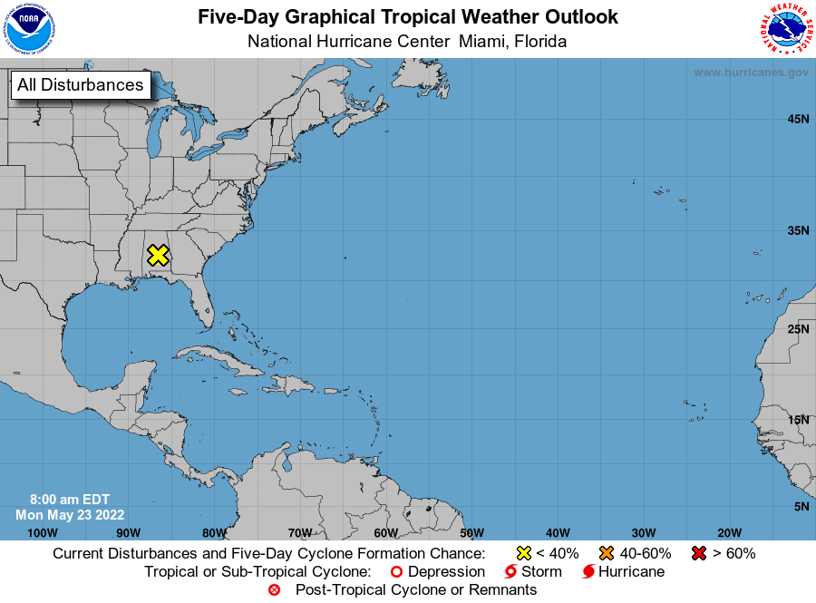
1. Southeastern United States:
An area of low pressure moved inland overnight along the
north-central Gulf of Mexico coast, and is now located over
south-central Alabama. The low is expected to continue to move
over land today, and tropical cyclone development is not expected.
However, locally heavy rains associated with this system will
continue to spread northeastward across portions of the
southeastern United States over the next day or so. Additional
information on the rainfall and flooding potential can be found in
products issued by your local National Weather Service Forecast
Office and Excessive Rainfall Outlooks issued by the Weather
Prediction Center.
* Formation chance through 48 hours...low...near 0 percent.
* Formation chance through 5 days...low...near 0 percent.
Forecaster Pasch