ZCZC MIATWOAT ALL
TTAA00 KNHC DDHHMM
Tropical Weather Outlook
NWS National Hurricane Center Miami FL
700 PM EST Thu Nov 11 2021
For the North Atlantic...Caribbean Sea and the Gulf of Mexico:
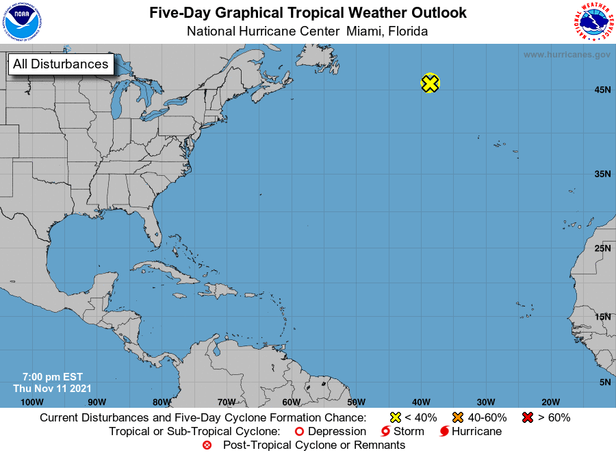
1. The large and powerful non-tropical area of low pressure located
several hundred miles east-southeast of Cape Race Newfoundland has
moved over cooler waters and is starting to merge with another
nearby non-tropical low. Thus, there is now little chance of
development into a subtropical cyclone. Additional information on
this system, including hurricane-force wind warnings, can be found
in High Seas forecasts issued by the National Weather Service.
* Formation chance through 48 hours...low...near 0 percent.
* Formation chance through 5 days...low...near 0 percent.
High Seas Forecasts issued by the National Weather Service can be
found under AWIPS header NFDHSFAT1, WMO header FZNT01 KWBC, and
online at ocean.weather.gov/shtml/NFDHSFAT1.php
Forecaster Beven