ZCZC MIATWOAT ALL
TTAA00 KNHC DDHHMM
Tropical Weather Outlook
NWS National Hurricane Center Miami FL
700 PM EST Mon Nov 8 2021
For the North Atlantic...Caribbean Sea and the Gulf of Mexico:
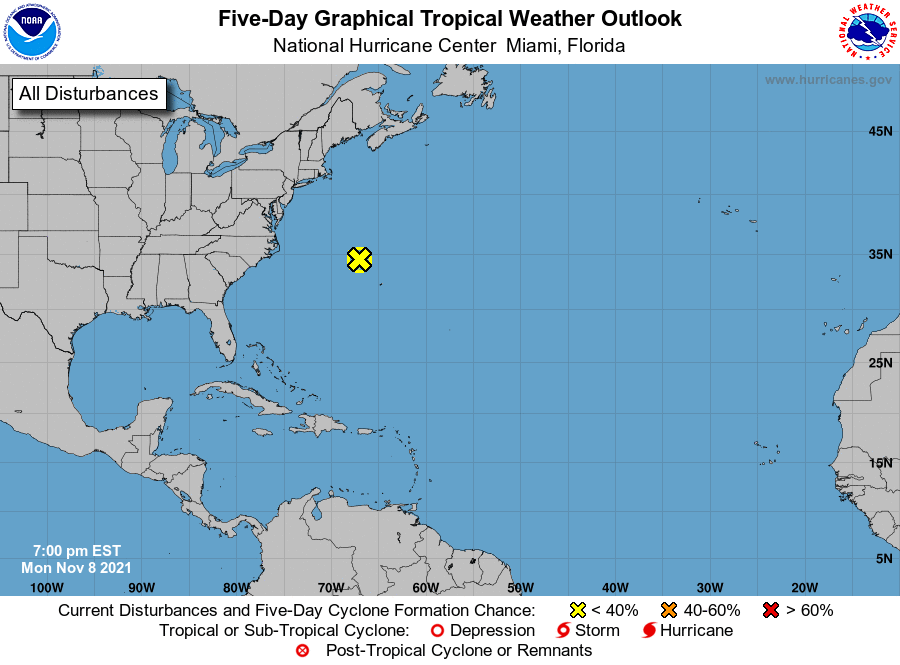
1. A non-tropical low pressure system with storm-force winds is located
several hundred miles east of Cape Hatteras, North Carolina. This
system now appears unlikely to lose its frontal structure and
acquire subtropical characteristics during the next few days while
it moves eastward to east-northeastward at around 15 mph. By late
this week, the low is expected to merge with a larger extratropical
low pressure system over the north-central Atlantic Ocean. For more
information on this system, including storm warnings, see High Seas
Forecasts issued by the National Weather Service.
* Formation chance through 48 hours...low...near 0 percent.
* Formation chance through 5 days...low...near 0 percent.
High Seas Forecasts issued by the National Weather Service
can be found under AWIPS header NFDHSFAT1, WMO header FZNT01
KWBC, and online at ocean.weather.gov/shtml/NFDHSFAT1.php
Forecaster Reinhart