ZCZC MIATWOAT ALL
TTAA00 KNHC DDHHMM
Tropical Weather Outlook
NWS National Hurricane Center Miami FL
800 PM EDT Fri Oct 29 2021
For the North Atlantic...Caribbean Sea and the Gulf of Mexico:
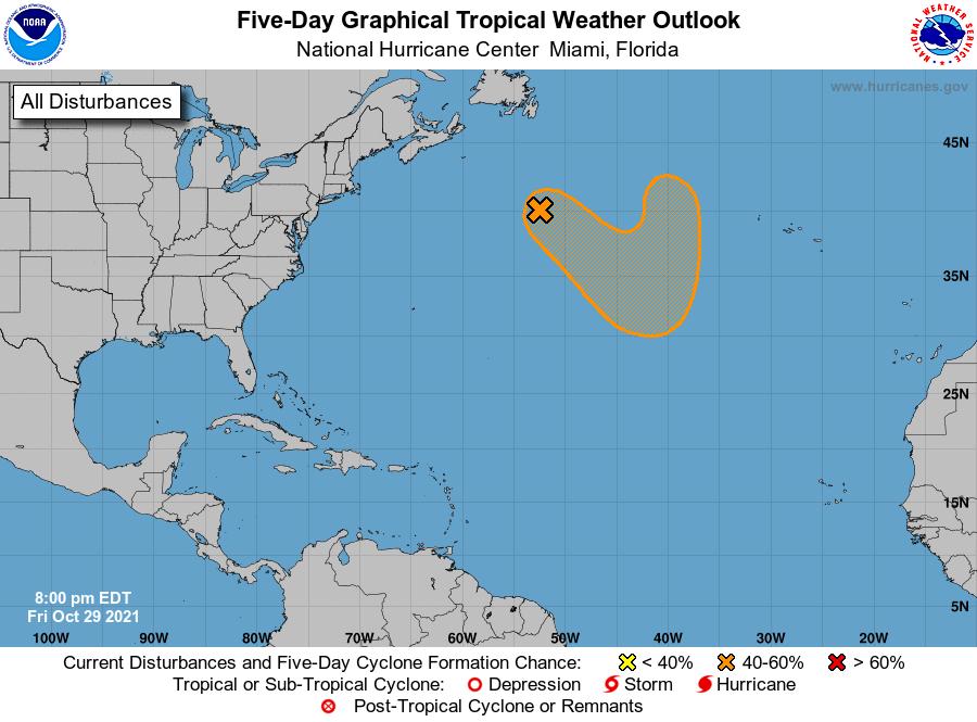
1. Showers and a few thunderstorms are showing some signs of
organization near a strong, frontal low pressure system
located several hundred miles south of Cape Race, Newfoundland.
The nontropical low is likely to lose its associated fronts while
it moves southeastward toward slightly warmer waters during the
next few days, and it could make a transition to a subtropical
storm this weekend or early next week over the central Atlantic.
The system is expected to turn northward back toward colder waters
by the middle of next week. For more information on this system,
including gale warnings, see High Seas Forecasts issued by the
National Weather Service.
* Formation chance through 48 hours...low...30 percent.
* Formation chance through 5 days...medium...40 percent.
High Seas Forecasts issued by the National Weather Service can be
found under AWIPS header NFDHSFAT1, WMO header FZNT01 KWBC, and
online at ocean.weather.gov/shtml/NFDHSFAT1.php
Forecaster Berg