ZCZC MIATWOAT ALL
TTAA00 KNHC DDHHMM
Tropical Weather Outlook
NWS National Hurricane Center Miami FL
800 PM EDT Thu Oct 28 2021
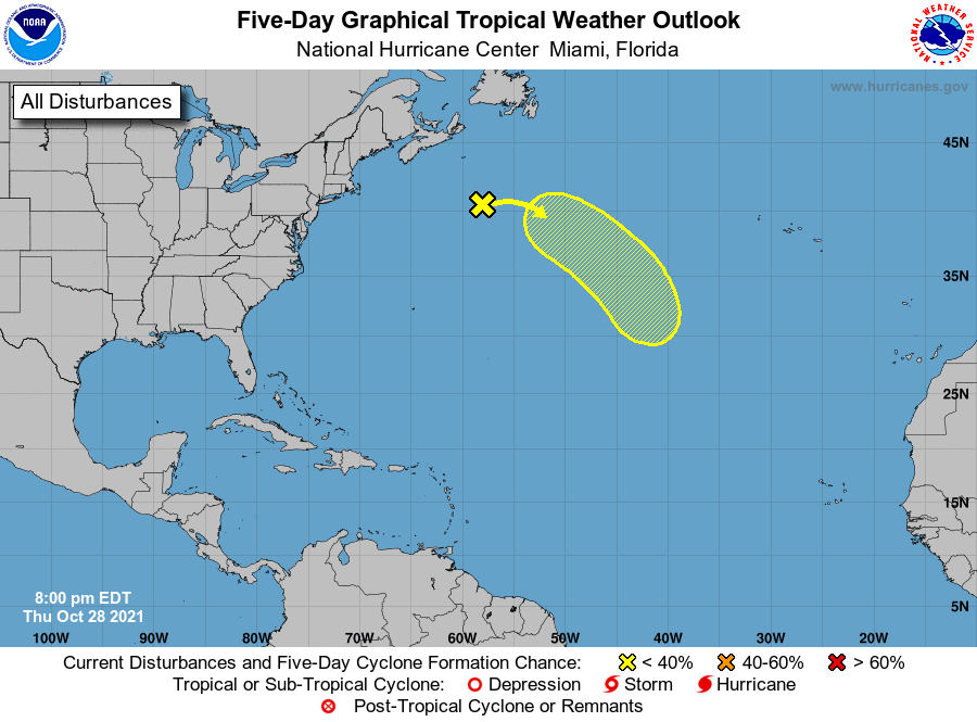
For the North Atlantic...Caribbean Sea and the Gulf of Mexico:
1. Showers and thunderstorms have become a little better organized
today near a strong low pressure system located a few hundred
miles southeast of Halifax, Nova Scotia. However, the low is still
attached to a front and therefore remains nontropical. The low is
expected to move eastward and then southeastward toward slightly
warmer warmers during the next few days, and it could lose its
associated fronts and acquire some subtropical characteristics over
the weekend or early next week while over the central Atlantic.
For more information on this system, including gale warnings, see
High Seas Forecasts issued by the National Weather Service.
* Formation chance through 48 hours...low...20 percent.
* Formation chance through 5 days...low...30 percent.
High Seas Forecasts issued by the National Weather Service can be
found under AWIPS header NFDHSFAT1, WMO header FZNT01 KWBC, and
online at ocean.weather.gov/shtml/NFDHSFAT1.php
Forecaster Berg