ZCZC MIATWOAT ALL
TTAA00 KNHC DDHHMM
Tropical Weather Outlook
NWS National Hurricane Center Miami FL
200 PM EDT Thu Jul 15 2021
For the North Atlantic...Caribbean Sea and the Gulf of Mexico:
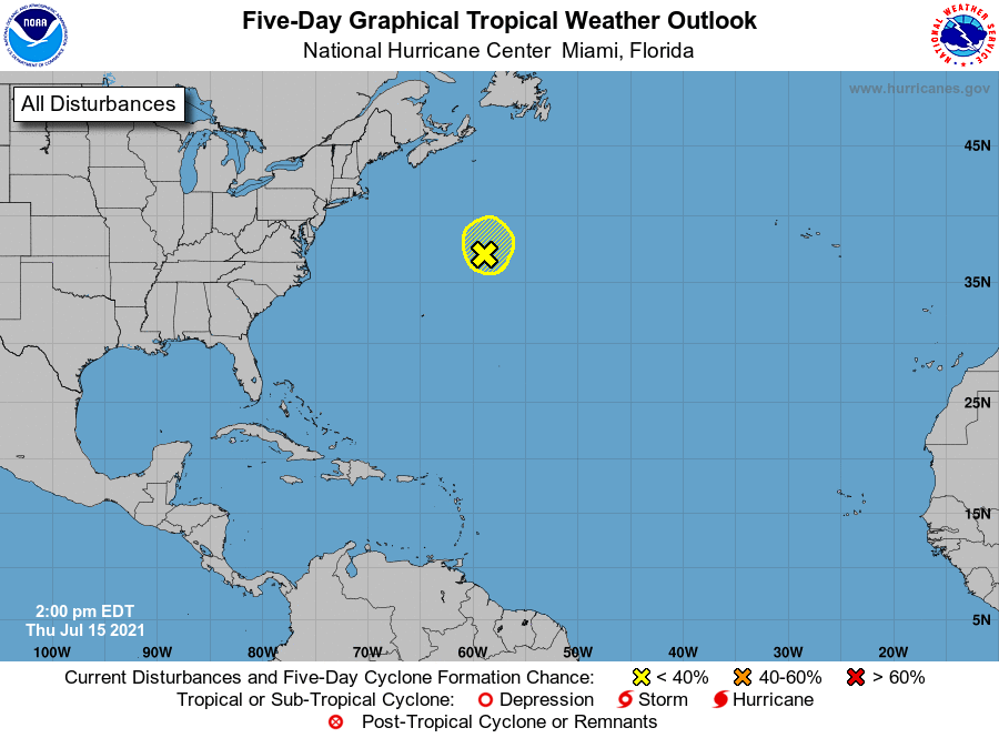
1. Shower activity has become a little more concentrated over the past
couple of hours in association with a non-tropical area of low
pressure, located several hundred miles south-southwest of Cape
Race, Newfoundland. However, environmental conditions are only
marginally conducive for tropical or subtropical development while
the low accelerates northeastward through tonight. By Friday, the
low is expected to open up into a trough of low pressure to the
south of Atlantic Canada.
* Formation chance through 48 hours...low...10 percent.
* Formation chance through 5 days...low...10 percent.
Forecaster Latto