ZCZC MIATWOAT ALL
TTAA00 KNHC DDHHMM
Tropical Weather Outlook
NWS National Hurricane Center Miami FL
800 AM EDT Wed Jul 14 2021
For the North Atlantic...Caribbean Sea and the Gulf of Mexico:
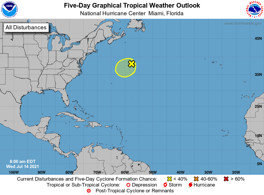
1. A non-tropical area of low pressure, located several hundred miles
south-southwest of Cape Race, Newfoundland, is producing
near-gale-force winds, however, showers and thunderstorms, well
east of its center, remain limited. Although environmental
conditions are only marginally conducive during the next couple of
days, some slight development of this system is possible as it
drifts generally southwestward over warmer waters. Toward the end
of the week, the low is expected to accelerate northeastward and
open up into a trough of low pressure to the south of Atlantic
Canada.
* Formation chance through 48 hours...low...10 percent.
* Formation chance through 5 days...low...10 percent.
Forecaster Roberts