ZCZC MIATWOAT ALL
TTAA00 KNHC DDHHMM
Tropical Weather Outlook
NWS National Hurricane Center Miami FL
200 PM EDT Tue Jul 13 2021
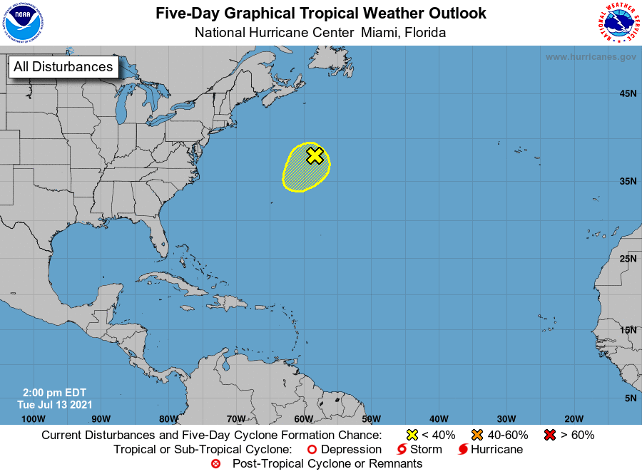
For the North Atlantic...Caribbean Sea and the Gulf of Mexico:
1. Satellite derived surface wind data indicate that the non-tropical
area of low pressure, located several hundred miles southeast of
Cape Race, Newfoundland, is producing winds below gale force and
limited showers and thunderstorms. Although environmental
conditions are only marginally favorable during the next couple of
days, some slight development is possible as it drifts generally
southward over warmer waters. Toward the end of the week, the low
is expected to accelerate north-northeastward and open up into a
trough of low pressure in response to an approaching frontal system
moving off of the New England coast.
* Formation chance through 48 hours...low...10 percent.
* Formation chance through 5 days...low...10 percent.
Forecaster Roberts