ZCZC MIATWOAT ALL
TTAA00 KNHC DDHHMM
Tropical Weather Outlook
NWS National Hurricane Center Miami FL
200 AM EDT Sun Jul 11 2021
For the North Atlantic...Caribbean Sea and the Gulf of Mexico:
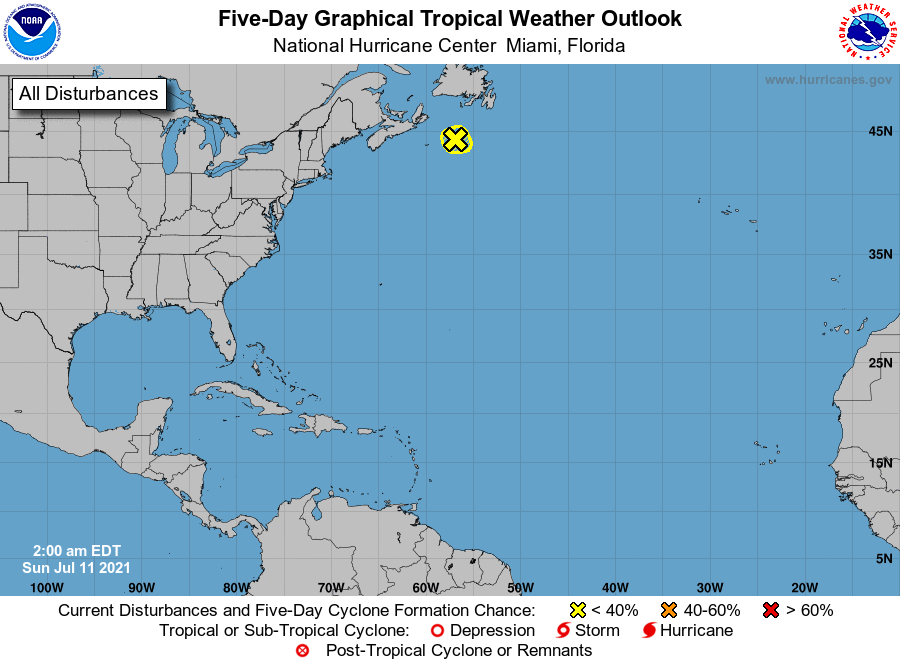
1. A small low pressure system located about 250 miles southwest of
Cape Race, Newfoundland, is producing limited shower activity. The
low is forecast to continue accelerating northeastward over colder
ocean waters, and tropical cyclone development is not expected.
Additional information on this system can be found in High Seas
Forecasts issued by the National Weather Service.
* Formation chance through 48 hours...low...near 0 percent.
* Formation chance through 5 days...low...near 0 percent.
High Seas Forecasts issued by the National Weather Service can be
found under AWIPS header NFDHSFAT1, WMO header FZNT01 KWBC, and
online at ocean.weather.gov/shtml/NFDHSFAT1.php
Forecaster Stewart