ZCZC MIATWOAT ALL
TTAA00 KNHC DDHHMM
Tropical Weather Outlook
NWS National Hurricane Center Miami FL
200 AM EDT Tue Jun 22 2021
For the North Atlantic...Caribbean Sea and the Gulf of Mexico:
The National Hurricane Center has issued the last advisory on the
remnants of Claudette, located a couple of hundred miles southeast
of Cape Cod, Massachusetts.
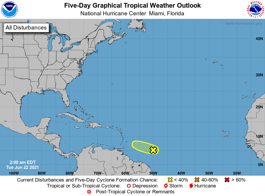
1. A tropical wave located about 650 miles east-southeast of the
Windward Islands is producing disorganized showers and a few
thunderstorms. Some additional development of this disturbance will
be possible during the next couple of days before upper-level winds
become less conducive for further organization by Thursday. The
system is expected to move westward to west-northwestward at 15 to
20 mph.
* Formation chance through 48 hours...low...30 percent.
* Formation chance through 5 days...low...30 percent.
Forecaster Latto