ZCZC MIATWOAT ALL
TTAA00 KNHC DDHHMM
Tropical Weather Outlook
NWS National Hurricane Center Miami FL
800 AM EDT Sat Jun 12 2021
For the North Atlantic...Caribbean Sea and the Gulf of Mexico:
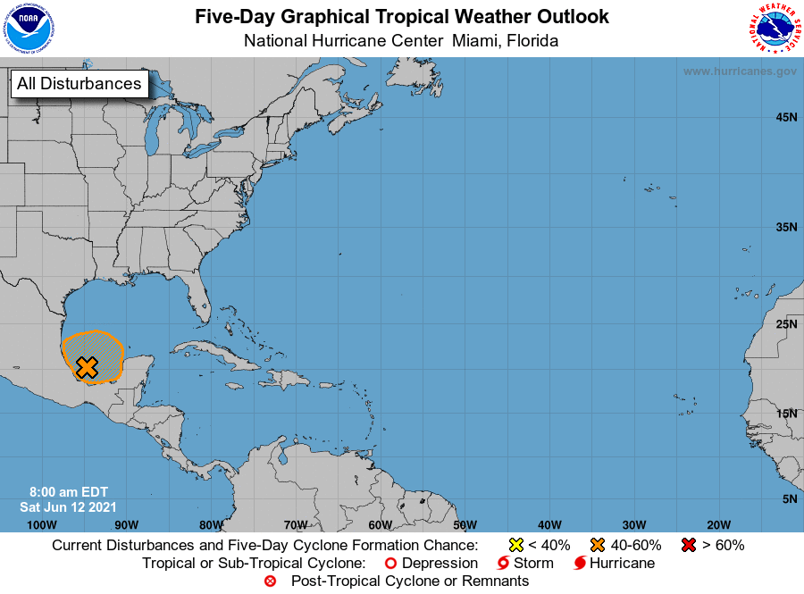
1. An area of cloudiness and showers has developed over the Bay of
Campeche and the adjacent land areas. Slow development of this
system is possible over the next several days as it moves slowly
and erratically, and a tropical depression could form in this area
by the middle of next week. Due to the slow motion, regardless of
development, heavy rainfall is possible over portions of Central
America and southern Mexico. Please consult products from your
local meteorological service for more information.
* Formation chance through 48 hours...low...10 percent.
* Formation chance through 5 days...medium...40 percent.
Forecaster Beven/Latto