ZCZC MIATWOAT ALL
TTAA00 KNHC DDHHMM
Tropical Weather Outlook
NWS National Hurricane Center Miami FL
800 AM EDT Tue Jun 1 2021
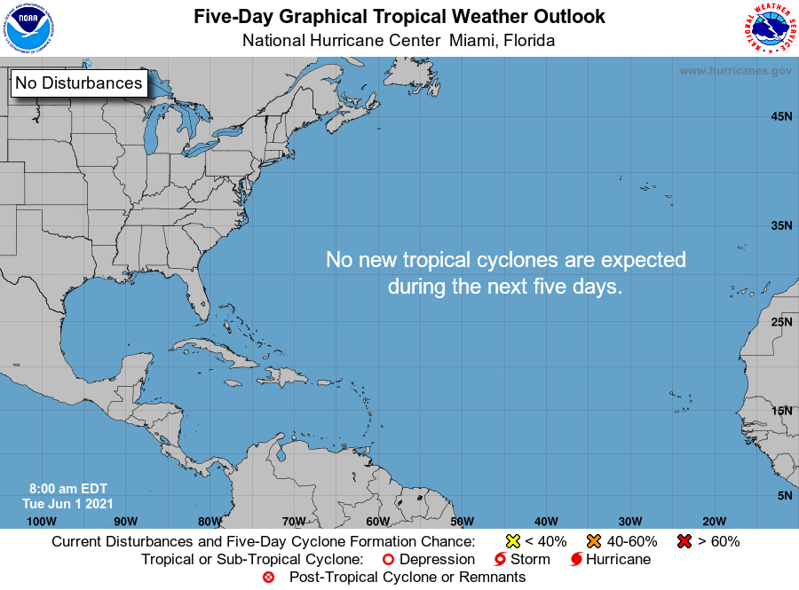
For the North Atlantic...Caribbean Sea and the Gulf of Mexico:
Tropical cyclone formation is not expected during the next 5 days.
Today marks the first day of the Atlantic hurricane season, which
will run until November 30. Long-term averages for the number of
named storms, hurricanes, and major hurricanes are 14, 7, and 3,
respectively.
The list of names for 2021 is as follows:
Name Pronunciation Name Pronunciation
-------------------------------------------------------------
Ana AH-nah Larry LAIR-ree
Bill bill Mindy MIN-dee
Claudette klaw-DET Nicholas NIH-kuh-luss
Danny DAN-ee Odette oh-DEHT
Elsa EL-suh Peter PEE-tur
Fred frehd Rose rohz
Grace grayss Sam sam
Henri anh-REE Teresa tuh-REE-suh
Ida EYE-duh Victor VIK-tur
Julian JOO-lee-uhn Wanda WAHN-duh
Kate kayt
One tropical storm, Ana, already formed this year in May. The
next named storm that develops this season will be Bill.
This product, the Tropical Weather Outlook, briefly describes
significant areas of disturbed weather and their potential for
tropical cyclone formation during the next five days. The
issuance times of this product are 2 AM, 8 AM, 2 PM, and
8 PM EDT. After the change to standard time in November,
the issuance times are 1 AM, 7 AM, 1 PM, and 7 PM EST.
A Special Tropical Weather Outlook will be issued to provide
updates, as necessary, in between the regularly scheduled
issuances of the Tropical Weather Outlook. Special Tropical
Weather Outlooks will be issued under the same WMO and AWIPS
headers as the regular Tropical Weather Outlooks.
A standard package of products, consisting of the tropical cyclone
public advisory, the forecast/advisory, the cyclone discussion,
and a wind speed probability product, is issued every six hours
for all ongoing tropical cyclones. In addition, a special
advisory package may be issued at any time to advise of
significant unexpected changes or to modify watches or warnings.
The Tropical Cyclone Update is a brief statement to inform of
significant changes in a tropical cyclone or to post or cancel
watches or warnings. It is used in lieu of or to precede the
issuance of a special advisory package. Tropical Cyclone Updates,
which can be issued at any time, can be found under WMO header
WTNT61-65 KNHC, and under AWIPS header MIATCUAT1-5.
All National Hurricane Center text and graphical products are
available on the web at https://www.hurricanes.gov. You can also
interact with NHC on Facebook at https://www.facebook.com/NWSNHC.
Notifications are available via Twitter when select National
Hurricane Center products are issued. Information about our
Atlantic Twitter feed (@NHC_Atlantic) is available at
https://www.hurricanes.gov/twitter.shtml.
$$
Forecaster Papin/Stewart
NNNN