ZCZC MIATWOAT ALL
TTAA00 KNHC DDHHMM
Tropical Weather Outlook
NWS National Hurricane Center Miami FL
100 AM EST Mon Nov 30 2020
For the North Atlantic...Caribbean Sea and the Gulf of Mexico:
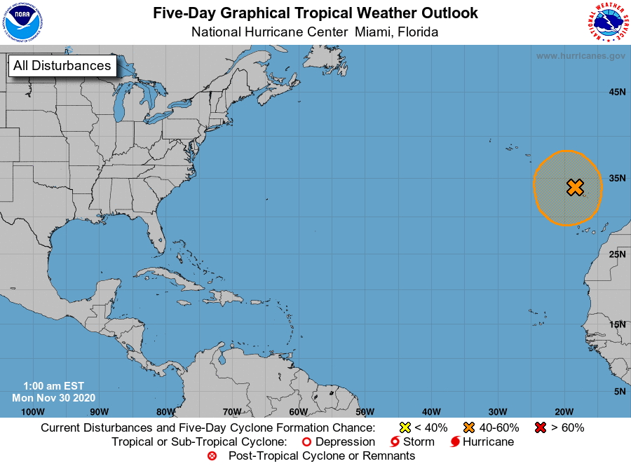
1. A large non-tropical low pressure system located near the Madeira
Islands is producing disorganized showers and thunderstorms. This
low is expected to meander during the next day or so. and it could
acquire subtropical characteristics during that time. After that,
however, environmental conditions are forecast to become unfavorable
for further development. Regardless of subtropical formation, this
system will continue to produce strong winds and locally heavy rains
in the Madeira Islands through Tuesday. Additional information on
this system can be found in High Seas Forecasts issued by Meteo
France.
* Formation chance through 48 hours...medium...40 percent.
* Formation chance through 5 days...medium...40 percent.
High Seas Forecasts issued by Meteo France can be found under WMO
header FQNT50 LFPW.
Forecaster Cangialosi