ZCZC MIATWOAT ALL
TTAA00 KNHC DDHHMM
Tropical Weather Outlook
NWS National Hurricane Center Miami FL
100 AM EST Thu Nov 26 2020
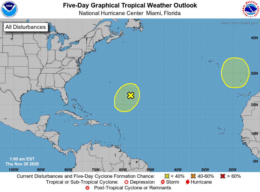
For the North Atlantic...Caribbean Sea and the Gulf of Mexico:
1. A frontal low pressure system is located several hundred miles
southeast of Bermuda. The low is forecast to interact with an
upper-level trough today and could slowly acquire some subtropical
characteristics during the next day or two while it drifts
south-southwestward. Environmental conditions are expected to
become unfavorable for further development by the weekend.
* Formation chance through 48 hours...low...10 percent.
* Formation chance through 5 days...low...10 percent.
2. A non-tropical area of low pressure is expected to form over the far
eastern Atlantic during the weekend. This system could gradually
gain subtropical characteristics while it moves slowly southward
through early next week.
* Formation chance through 48 hours...low...near 0 percent.
* Formation chance through 5 days...low...20 percent.
Forecaster Stewart