ZCZC MIATWOAT ALL
TTAA00 KNHC DDHHMM
Tropical Weather Outlook
NWS National Hurricane Center Miami FL
100 PM EST Wed Nov 25 2020
For the North Atlantic...Caribbean Sea and the Gulf of Mexico:
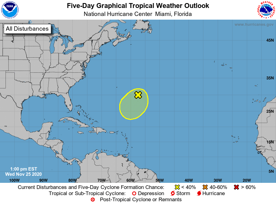
1. A low pressure area located along a frontal system several hundred
miles east-southeast of Bermuda continues to produce disorganized
cloudiness and showers, mainly east of its center. The low is
expected to interact with an upper-level trough through tonight,
detach from the front by Thursday, and then possibly acquire some
subtropical characteristics on Friday while it moves southward over
warmer waters. By this weekend, environmental conditions are
forecast to become increasingly unfavorable for further development.
* Formation chance through 48 hours...low...10 percent.
* Formation chance through 5 days...low...20 percent.
Forecaster Reinhart/Beven