ZCZC MIATWOAT ALL
TTAA00 KNHC DDHHMM
Tropical Weather Outlook
NWS National Hurricane Center Miami FL
200 PM EDT Wed Oct 14 2020
For the North Atlantic...Caribbean Sea and the Gulf of Mexico:
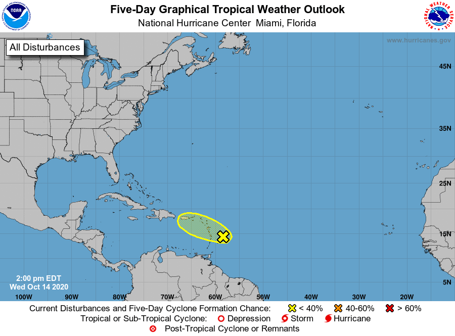
1. A broad area of low pressure approaching the Lesser Antilles
continues to produce a large area of disorganized showers
and thunderstorms, mainly to the east of its center. Strong
upper-level winds are expected to inhibit significant development
while the system moves west-northwestward over the next couple of
days. Regardless of development, the system could produce locally
heavy rainfall across portions of the central and northern Lesser
Antilles today, the Virgin Islands and Puerto Rico on Thursday, and
Hispaniola on Friday.
* Formation chance through 48 hours...low...10 percent.
* Formation chance through 5 days...low...10 percent.
Forecaster Beven