ZCZC MIATWOAT ALL
TTAA00 KNHC DDHHMM
Tropical Weather Outlook
NWS National Hurricane Center Miami FL
200 AM EDT Mon Oct 12 2020
For the North Atlantic...Caribbean Sea and the Gulf of Mexico:
The Weather Prediction Center has issued its last advisory on
Post-Tropical Cyclone Delta, located inland over the southeastern
United States.
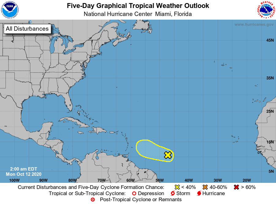
1. Showers and thunderstorms associated with a tropical wave located
about 900 miles east of the Windward Islands have shown signs of
organization during the past few hours. Some slight additional
development is possible during the next day or so while the
disturbance moves generally westward near 15 mph. Strong upper-level
winds are expected to limit further development by midweek.
* Formation chance through 48 hours...low...30 percent.
* Formation chance through 5 days...low...30 percent.
Forecaster Zelinsky