ZCZC MIATWOAT ALL
TTAA00 KNHC DDHHMM
Tropical Weather Outlook
NWS National Hurricane Center Miami FL
800 AM EDT Sun Oct 11 2020
For the North Atlantic...Caribbean Sea and the Gulf of Mexico:
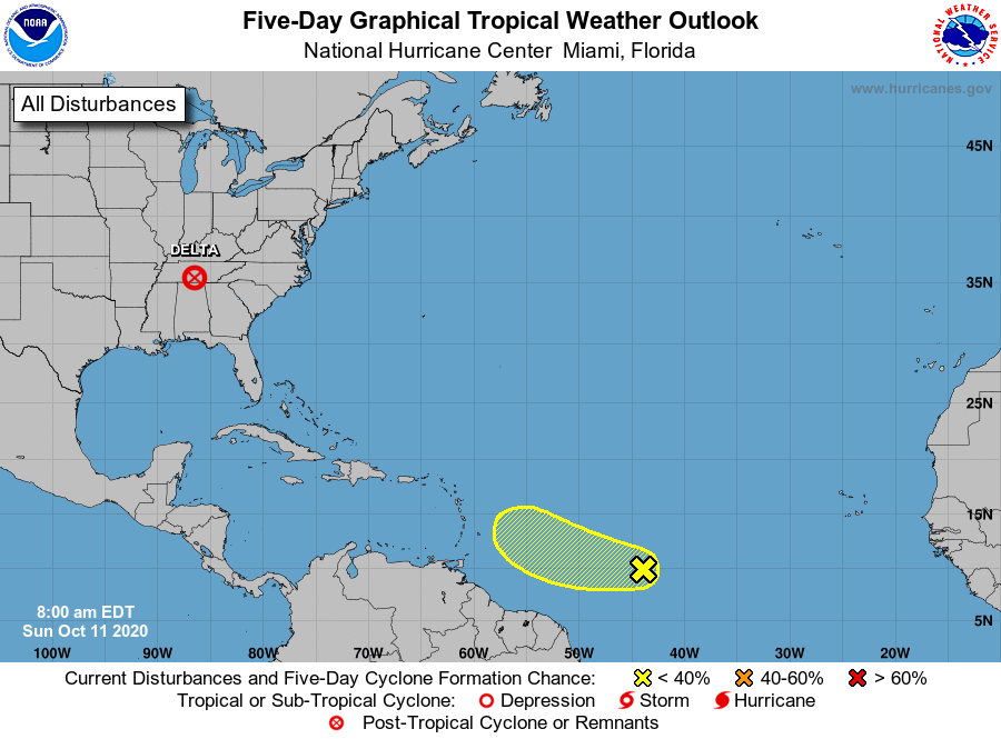
The Weather Prediction Center is issuing advisories on Post-Tropical
Cyclone Delta, centered inland over the southeastern United States.
1. A westward-moving tropical wave continues to produce disorganized
showers and thunderstorms centered about 1200 miles east of the
Windward Islands. Some development of this system is possible
during the next few days while the system moves generally
westward near 15 mph before upper-level winds are forecast to
become unfavorable for further development by midweek.
* Formation chance through 48 hours...low...10 percent.
* Formation chance through 5 days...low...20 percent.
Public advisories issued by the Weather Prediction Center on
Post-Tropical Cyclone Delta can be found under AWIPS header TCPAT1,
WMO header WTNT31 KWNH, and on the web at
https://www.wpc.ncep.noaa.gov and https://www.hurricanes.gov
Forecaster Blake