ZCZC MIATWOAT ALL
TTAA00 KNHC DDHHMM
Tropical Weather Outlook
NWS National Hurricane Center Miami FL
200 PM EDT Wed Aug 26 2020
For the North Atlantic...Caribbean Sea and the Gulf of Mexico:
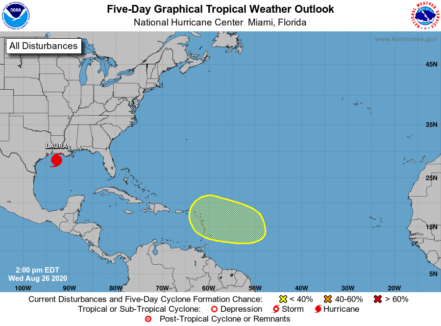
The National Hurricane Center is issuing advisories on Hurricane
Laura, located over the northwestern Gulf of Mexico.
1. A westward moving tropical wave is expected to move off of the west
coast of Africa tonight. Although environmental conditions do not
appear to be conducive for development as the wave crosses the
eastern Atlantic over the next few days, conditions could become
more favorable for slow development of the system as it reaches the
central and western tropical Atlantic early next week.
* Formation chance through 48 hours...low...near 0 percent.
* Formation chance through 5 days...low...20 percent.
Forecaster Latto