ZCZC MIATWOAT ALL
TTAA00 KNHC DDHHMM
Tropical Weather Outlook
NWS National Hurricane Center Miami FL
800 AM EDT Wed Aug 5 2020
For the North Atlantic...Caribbean Sea and the Gulf of Mexico:
The National Hurricane Center has issued the last advisory on
Post-Tropical Cyclone Isaias, located over eastern Quebec.
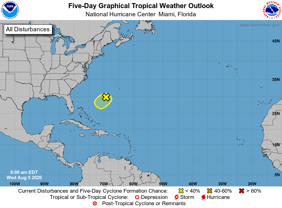
1. A small, well-defined low pressure system located a few hundred
miles southwest of Bermuda is producing disorganized showers and a
few thunderstorms. The low has been nearly stationary during the
past several hours, but it is forecast to drift southwestward during
the next couple of days. Any development of this disturbance should
be slow to occur due to dry air and increasing upper-level winds.
* Formation chance through 48 hours...low...10 percent.
* Formation chance through 5 days...low...10 percent.
Forecaster Stewart