ZCZC MIATWOAT ALL
TTAA00 KNHC DDHHMM
Tropical Weather Outlook
NWS National Hurricane Center Miami FL
800 PM EDT Tue Aug 4 2020
For the North Atlantic...Caribbean Sea and the Gulf of Mexico:
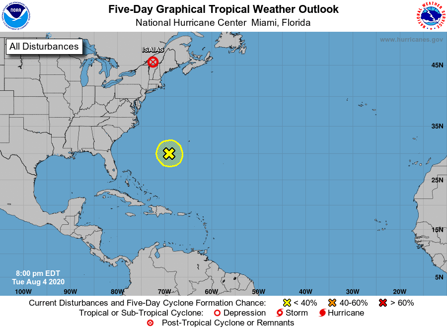
The National Hurricane Center is issuing advisories on Tropical
Storm Isaias which is rapidly moving northeastward over the
northeastern U.S.
1. A small well-defined low has formed within a broader trough of low
pressure located a few hundred miles southwest of Bermuda. This
system is producing very little thunderstorm activity at this time,
but some slight development is possible while the system moves
little during the next couple of days. A southwestward drift is
forecast on Thursday and Friday.
* Formation chance through 48 hours...low...20 percent.
* Formation chance through 5 days...low...20 percent.
Forecaster Zelinsky