ZCZC MIATWOAT ALL
TTAA00 KNHC DDHHMM
Tropical Weather Outlook
NWS National Hurricane Center Miami FL
200 PM EDT Sun Aug 2 2020
For the North Atlantic...Caribbean Sea and the Gulf of Mexico:
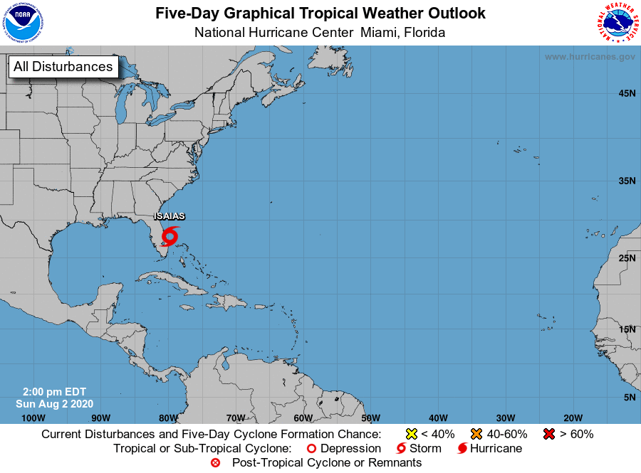
The National Hurricane Center is issuing advisories on Tropical
Storm Isaias, located just offshore of East-Central Florida.
Showers and thunderstorms associated with a tropical wave located a
a couple hundred miles east of the Leeward Islands are slowly
becoming better organized. Environmental conditions are forecast to
be conducive for additional development during the next few days,
and a tropical depression could form by the middle of the week. This
system is forecast to move northwestward over the western Atlantic
early this week, passing north of the Leeward Islands.
* Formation chance through 48 hours...medium...40 percent.
* Formation chance through 5 days...medium...60 percent.
$$
Forecaster Latto
NNNN